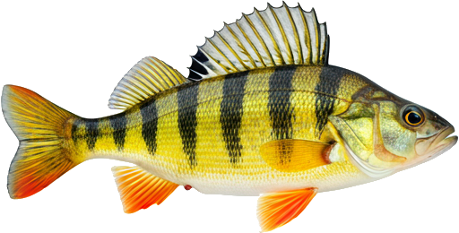
Important notices
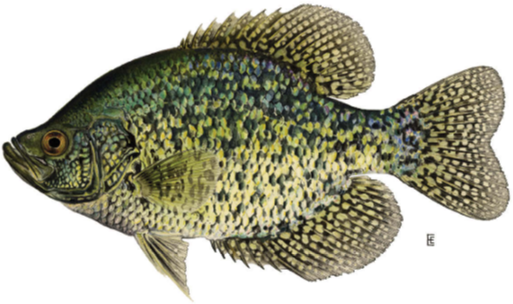
Saint John River, Lower Saint John — Fishing restrictions
| Season / Restrictions | Bag Limit | Minimum Size | Maximum Size |
|---|---|---|---|
| April 15 – September 15 Rivers, brooks and streams | 5 | 10cm | N/A |
| Exceptions | |||
| January 1 – December 31 Rivers, brooks and streams from the Mactaquac dam downstream to a line drawn across the river from the mouth of Springhill Brook (Hartt Island Campground) to the western Fredericton city limit on the north side of the river (near Clements Drive and Carlisle Road) | Closed to angling | ||
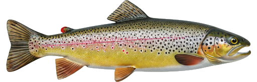
| Season / Restrictions | Bag Limit | Minimum Size | Maximum Size |
|---|---|---|---|
| April 15 – September 15 Rivers, brooks and streams | 2 | 15cm | N/A |
| Exceptions | |||
| January 1 – December 31 Rivers, brooks and streams from the Mactaquac dam downstream to a line drawn across the river from the mouth of Springhill Brook (Hartt Island Campground) to the western Fredericton city limit on the north side of the river (near Clements Drive and Carlisle Road) | Closed to angling | ||
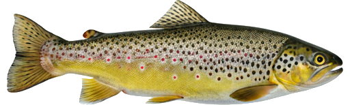
| Season / Restrictions | Bag Limit | Minimum Size | Maximum Size |
|---|---|---|---|
| January 1 – December 31 Non-tidal waters | 10 | 10cm | 100cm |
| January 1 – December 30 Tidal waters | 10 | 10cm | 100cm |
| Exceptions | |||
| January 1 – December 31 Rivers, brooks and streams from the Mactaquac dam downstream to a line drawn across the river from the mouth of Springhill Brook (Hartt Island Campground) to the western Fredericton city limit on the north side of the river (near Clements Drive and Carlisle Road) | Closed to angling | ||
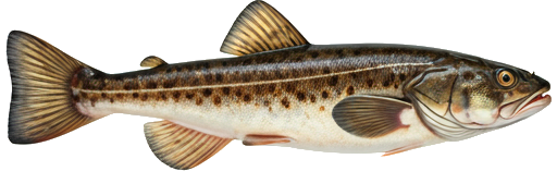
| Season / Restrictions | Bag Limit | Minimum Size | Maximum Size |
|---|---|---|---|
| January 1 – December 31 Non-tidal waters | 10 | 10cm | 100cm |
| January 1 – December 30 Tidal waters | 10 | 10cm | 100cm |
| Exceptions | |||
| January 1 – December 31 Rivers, brooks and streams from the Mactaquac dam downstream to a line drawn across the river from the mouth of Springhill Brook (Hartt Island Campground) to the western Fredericton city limit on the north side of the river (near Clements Drive and Carlisle Road) | Closed to angling | ||
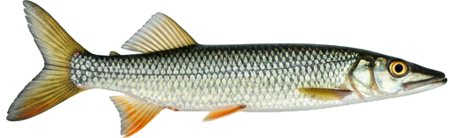
| Season / Restrictions | Bag Limit | Minimum Size | Maximum Size |
|---|---|---|---|
| January 1 – December 31 Non-tidal waters | 10 | 35cm | N/A |
| January 1 – December 31 Tidal waters | 10 | 35cm | N/A |
| Exceptions | |||
| January 1 – December 31 Rivers, brooks and streams from the Mactaquac dam downstream to a line drawn across the river from the mouth of Springhill Brook (Hartt Island Campground) to the western Fredericton city limit on the north side of the river (near Clements Drive and Carlisle Road) | Closed to angling | ||
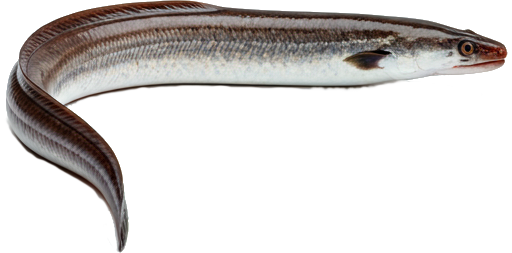
| Season / Restrictions | Bag Limit | Minimum Size | Maximum Size |
|---|---|---|---|
| January 1 – December 31 Non-tidal waters | 20 | N/A | N/A |
| January 1 – December 31 Tidal waters | 20 | N/A | N/A |
| Exceptions | |||
| January 1 – December 31 Rivers, brooks and streams from the Mactaquac dam downstream to a line drawn across the river from the mouth of Springhill Brook (Hartt Island Campground) to the western Fredericton city limit on the north side of the river (near Clements Drive and Carlisle Road) | Closed to angling | ||
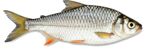
| Season / Restrictions | Bag Limit | Minimum Size | Maximum Size |
|---|---|---|---|
| April 15 – September 15 Rivers, brooks and streams | 2 | 45cm | N/A |
| Exceptions | |||
| January 1 – December 31 Rivers, brooks and streams from the Mactaquac dam downstream to a line drawn across the river from the mouth of Springhill Brook (Hartt Island Campground) to the western Fredericton city limit on the north side of the river (near Clements Drive and Carlisle Road) | Closed to angling | ||
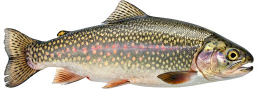
| Season / Restrictions | Bag Limit | Minimum Size | Maximum Size |
|---|---|---|---|
| January 1 – December 31 Non-tidal waters | 5 | 10cm | 170cm |
| January 1 – December 30 Tidal waters | 5 | 10cm | 170cm |
| Exceptions | |||
| January 1 – December 31 Rivers, brooks and streams from the Mactaquac dam downstream to a line drawn across the river from the mouth of Springhill Brook (Hartt Island Campground) to the western Fredericton city limit on the north side of the river (near Clements Drive and Carlisle Road) | Closed to angling | ||
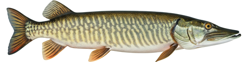
| Season / Restrictions | Bag Limit | Minimum Size | Maximum Size |
|---|---|---|---|
| January 1 – May 31 Dip Net in non-tidal waters | 60 | N/A | N/A |
| January 1 – September 30 Non-tidal waters | 60 | N/A | N/A |
| August 1 – May 31 Tidal waters | 60 | N/A | N/A |
| April 1 – May 31 Dip Net in tidal waters | 60 | N/A | N/A |
| Exceptions | |||
| January 1 – December 31 Rivers, brooks and streams from the Mactaquac dam downstream to a line drawn across the river from the mouth of Springhill Brook (Hartt Island Campground) to the western Fredericton city limit on the north side of the river (near Clements Drive and Carlisle Road) | Closed to angling | ||
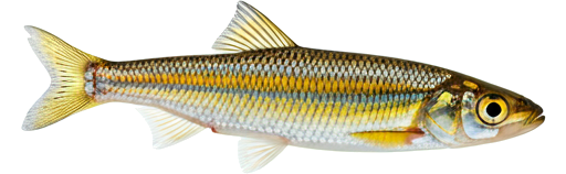
| Season / Restrictions | Bag Limit | Minimum Size | Maximum Size |
|---|---|---|---|
| April 15 – September 15 Rivers, brooks and streams | 5 | 15cm | N/A |
| Exceptions | |||
| January 1 – December 31 Rivers, brooks and streams from the Mactaquac dam downstream to a line drawn across the river from the mouth of Springhill Brook (Hartt Island Campground) to the western Fredericton city limit on the north side of the river (near Clements Drive and Carlisle Road) | Closed to angling | ||
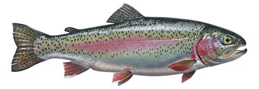
| Season / Restrictions | Bag Limit | Minimum Size | Maximum Size |
|---|---|---|---|
| January 1 – December 31 Non-tidal waters | 5 | N/A | N/A |
| January 1 – December 31 Tidal waters | 5 | N/A | N/A |
| Exceptions | |||
| January 1 – December 31 Rivers, brooks and streams from the Mactaquac dam downstream to a line drawn across the river from the mouth of Springhill Brook (Hartt Island Campground) to the western Fredericton city limit on the north side of the river (near Clements Drive and Carlisle Road) | Closed to angling | ||
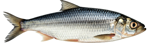
| Season / Restrictions | Bag Limit | Minimum Size | Maximum Size |
|---|---|---|---|
| April 15 – June 30 , | 0 | 30cm | 60cm |
| July 1 – September 15 , | 2 | 30cm | 60cm |
| September 16 – November 30 | 0 | 30cm | 60cm |
| Tidal portions of rivers, brooks and streams and all tributaries downstream of the Mactaquac Dam | |||
| April 15 – June 30 , | 0 | 30cm | 60cm |
| July 1 – September 15 , | 2 | 30cm | 60cm |
| September 16 – October 15 | 0 | 30cm | 60cm |
| Non-tidal portions of rivers, brooks and streams from the covered bridge in Hartland to the power line crossing 360 m downstream | |||
| April 15 – June 30 , | 0 | 30cm | 60cm |
| July 1 – September 15 , | 2 | 30cm | 60cm |
| September 16 – November 30 | 0 | 30cm | 60cm |
| Rivers, brooks and streams from the power lines crossing the river 360 m below the covered bridge in Hartland downstream to the Route 585 highway bridge in Grafton, excluding tributaries | |||
| Exceptions | |||
| January 1 – December 31 Rivers, brooks and streams from the Mactaquac dam downstream to a line drawn across the river from the mouth of Springhill Brook (Hartt Island Campground) to the western Fredericton city limit on the north side of the river (near Clements Drive and Carlisle Road) | Closed to angling | ||
| April 15 – September 15 Rivers, brooks and streams | 5 | 10cm | 60cm |
| Exceptions | |||
| January 1 – December 31 Rivers, brooks and streams from the Mactaquac dam downstream to a line drawn across the river from the mouth of Springhill Brook (Hartt Island Campground) to the western Fredericton city limit on the north side of the river (near Clements Drive and Carlisle Road) | Closed to angling | ||
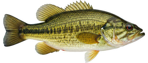
| Season / Restrictions | Bag Limit | Minimum Size | Maximum Size |
|---|---|---|---|
| January 1 – October 15 Non-tidal waters | 1 | 68cm | 150cm |
| January 1 – December 29 Tidal waters | 1 | 68cm | 150cm |
| Exceptions | |||
| January 1 – December 31 Rivers, brooks and streams from the Mactaquac dam downstream to a line drawn across the river from the mouth of Springhill Brook (Hartt Island Campground) to the western Fredericton city limit on the north side of the river (near Clements Drive and Carlisle Road) | Closed to angling | ||
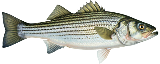
| Season / Restrictions | Bag Limit | Minimum Size | Maximum Size |
|---|---|---|---|
| January 1 – May 31 , | ∞ | 130cm | N/A |
| July 1 – December 31 | ∞ | 130cm | N/A |
| Fly Fishing in non-tidal waters ⚠ | |||
| January 1 – May 31 , | ∞ | 130cm | N/A |
| July 1 – December 31 | ∞ | 130cm | N/A |
| Fly Fishing in tidal waters ⚠ | |||
| Exceptions | |||
| January 1 – December 31 Rivers, brooks and streams from the Mactaquac dam downstream to a line drawn across the river from the mouth of Springhill Brook (Hartt Island Campground) to the western Fredericton city limit on the north side of the river (near Clements Drive and Carlisle Road) | Closed to angling | ||
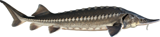
| Season / Restrictions | Bag Limit | Minimum Size | Maximum Size |
|---|---|---|---|
| January 1 – December 31 Non-tidal waters | 25 | 10cm | 50cm |
| January 1 – December 30 Tidal waters | 25 | 10cm | 50cm |
| Exceptions | |||
| January 1 – December 31 Rivers, brooks and streams from the Mactaquac dam downstream to a line drawn across the river from the mouth of Springhill Brook (Hartt Island Campground) to the western Fredericton city limit on the north side of the river (near Clements Drive and Carlisle Road) | Closed to angling | ||
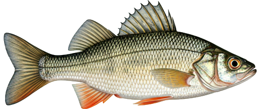
| Season / Restrictions | Bag Limit | Minimum Size | Maximum Size |
|---|---|---|---|
| January 1 – September 15 Non-tidal waters | 8 | 10cm | 70cm |
| January 1 – September 15 Tidal waters | 8 | 10cm | 70cm |
| Exceptions | |||
| January 1 – December 31 Rivers, brooks and streams from the Mactaquac dam downstream to a line drawn across the river from the mouth of Springhill Brook (Hartt Island Campground) to the western Fredericton city limit on the north side of the river (near Clements Drive and Carlisle Road) | Closed to angling | ||
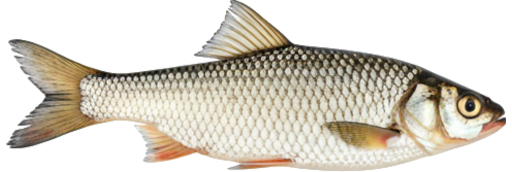
| Season / Restrictions | Bag Limit | Minimum Size | Maximum Size |
|---|---|---|---|
| January 1 – December 31 Non-tidal waters | 100 | 10cm | 50cm |
| January 1 – December 30 Tidal waters | 100 | 10cm | 50cm |
| Exceptions | |||
| January 1 – December 31 Rivers, brooks and streams from the Mactaquac dam downstream to a line drawn across the river from the mouth of Springhill Brook (Hartt Island Campground) to the western Fredericton city limit on the north side of the river (near Clements Drive and Carlisle Road) | Closed to angling | ||